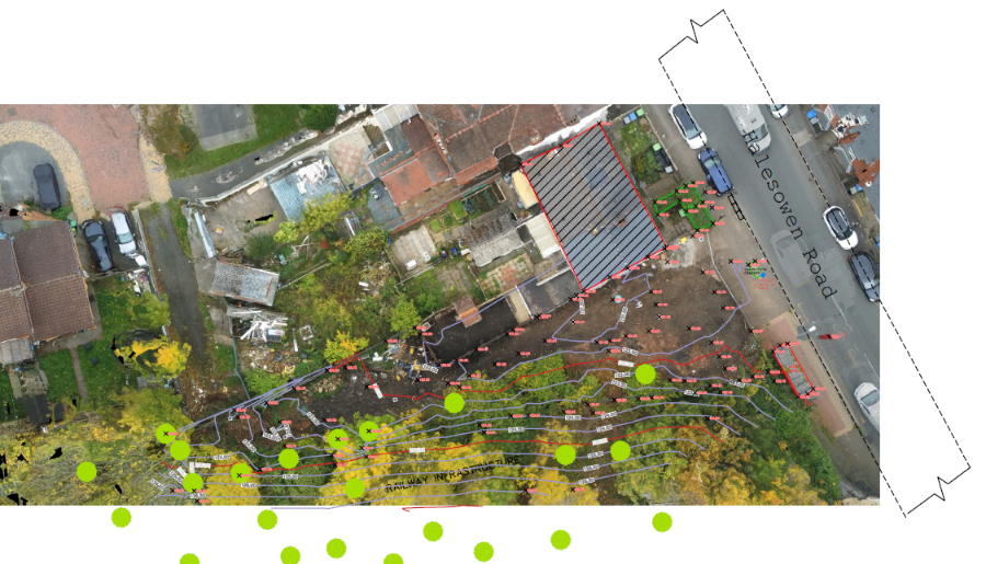
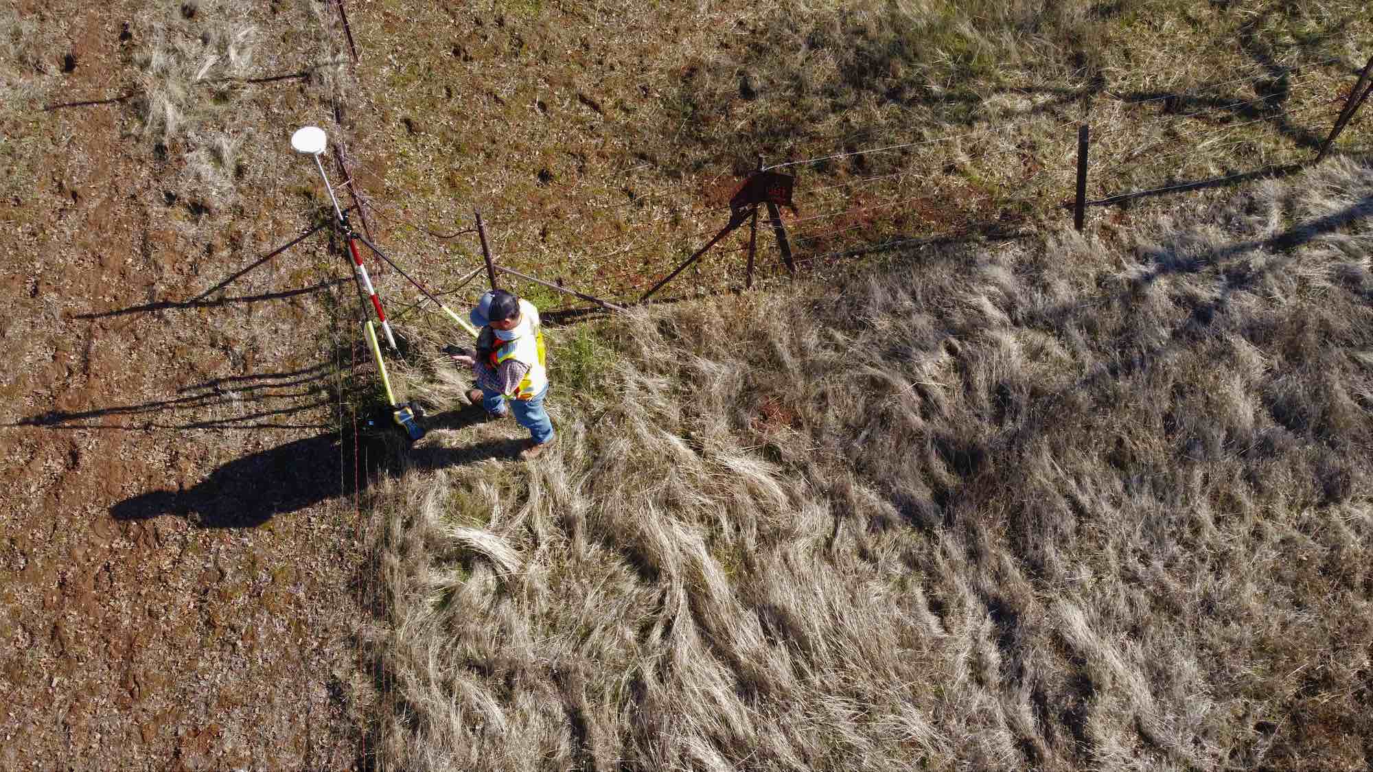
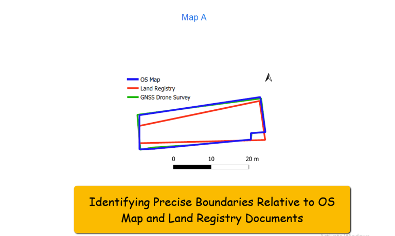
Ground levels, vegetation, and drainage systems reveal flow paths, low spots, and runoff patterns, and when surveyed to centimetre- to millimetre-level accuracy, they provide highly reliable site data. Combined, this information enables precise flood-risk mapping and is essential for informed planning and engineering purposes.
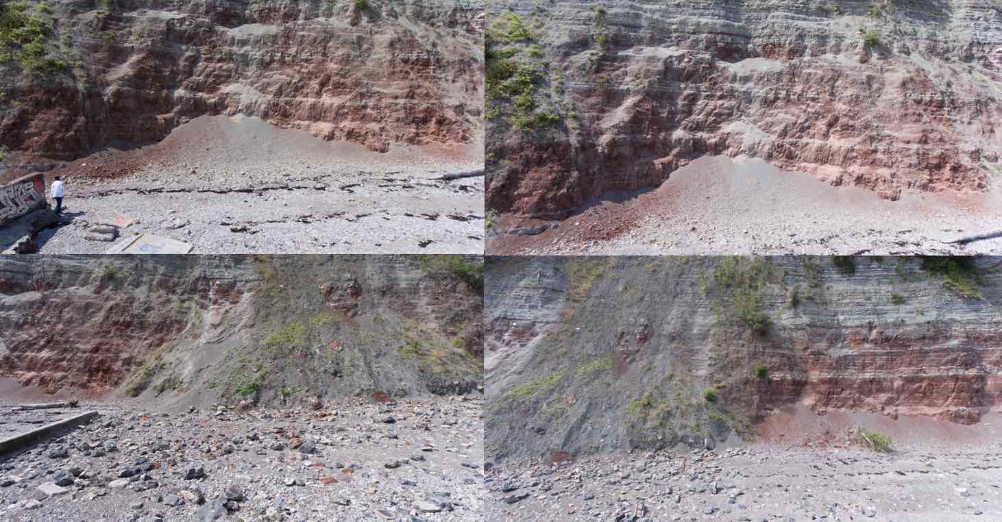
Detection of structural deformation, quantification of eroded surfaces, risk assessment, and prediction of cliff erosion. Also, the development of change detection algorithms, drone mapping techniques, close-range photogrammetry, and a computational framework for environmental impact assessment services. We can also handle the issue of invasive species monitoring for rapid response and targeted control measures from regular drone surveys, quick detection of invasive plant species growth, and quantification and segmentation of Invasive Plant Species.
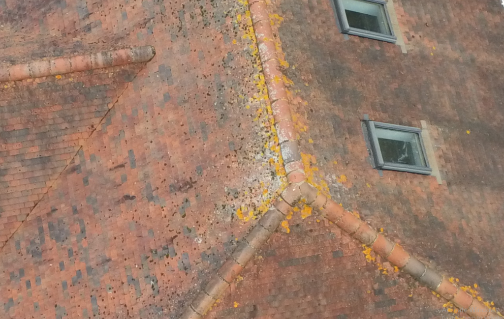
construction progress, structural monitoring, pipe monitoring, vertical column monitoring, creating 3D
site models, project management,
capturing up-to-date images of the
site, and tracking equipment and
materials.