About Us
Who We Are
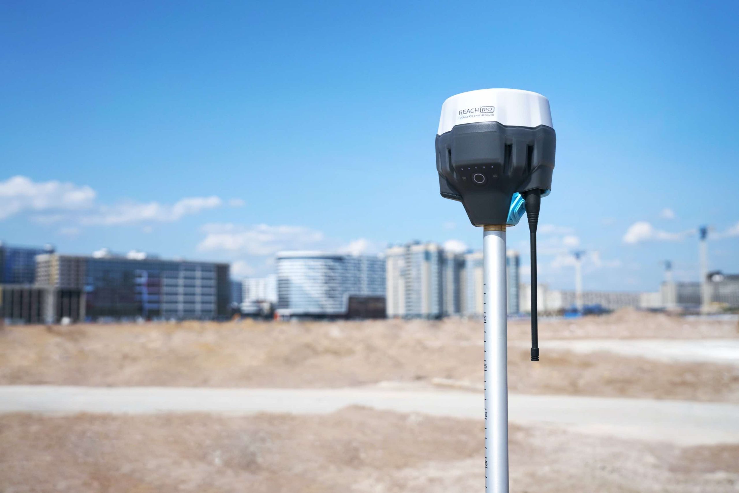
(GES) is digital photogrammetry (drone) and land surveying solution for monitoring deformation (structures, coal tips, cliffs, archaeology), coastal erosion, flooding, invasive plant species, and landscaping. With a combination of drones and surveying equipment for precision and accuracy, we don’t just produce pictorials but high-resolution and accurate 2D and 3D models for monitoring, evaluative, scientific and inventory purposes.


Our Mission
GES will provide research-driven digital photogrammetry and land surveying techniques for efficient analytical methodologies to understand and evaluate the environmental changes and the effect of management strategies in monitoring with optimal frequencies of surveys, resolution, localization, precision, and accuracy.
Meet Our Lead
“The strength of the team is each individual member. The strength of each member is the team.”

Dr. Mitchell Eboigbe
Ph.D. Digital Photogrammetry Principal Partner

Mr. Hamzeh Aldwairy
MSc GIS and Natural Reserve Managing Partner