Drone Mapping and Geospatial Surveying Consultants.
We implement reliable, cost-effective drone camera and image-capture workflows to produce accurate, high-resolution, interactive digital imagery, maps, and plans.
CAA Authorisation number PDRA01-26451
Phone: 07467876964 | Email: contact@geoenvsol.co.uk
Who We Are
GES is a digital photogrammetry (drone) and land surveying solution for monitoring deformation (structures, coal tips, cliffs, archaeology), coastal erosion, flooding, invasive plant species, water and air pollution, and landscaping. With a combination of drones and surveying equipment for precision and accuracy, GES doesn’t just produce pictorials but high-resolution and accurate 2D and 3D maps and models for monitoring, evaluative, scientific and inventory purposes.
Our Mission
GES will provide research-driven digital photogrammetry and land surveying techniques for efficient analytical methodologies to understand and evaluate the environmental changes and the effect of management strategies in monitoring with optimal frequencies of surveys, resolution, localization, precision, and accuracy.
We Give You The Best
Deformation surveys, shoreline monitoring, flooding and erosion, invasive plant species, roof inspections, drainage, road profile, agriculture, environmental impact assessment etc.
We don’t just produce pictorials but high-resolution and accurate
Topographical surveys
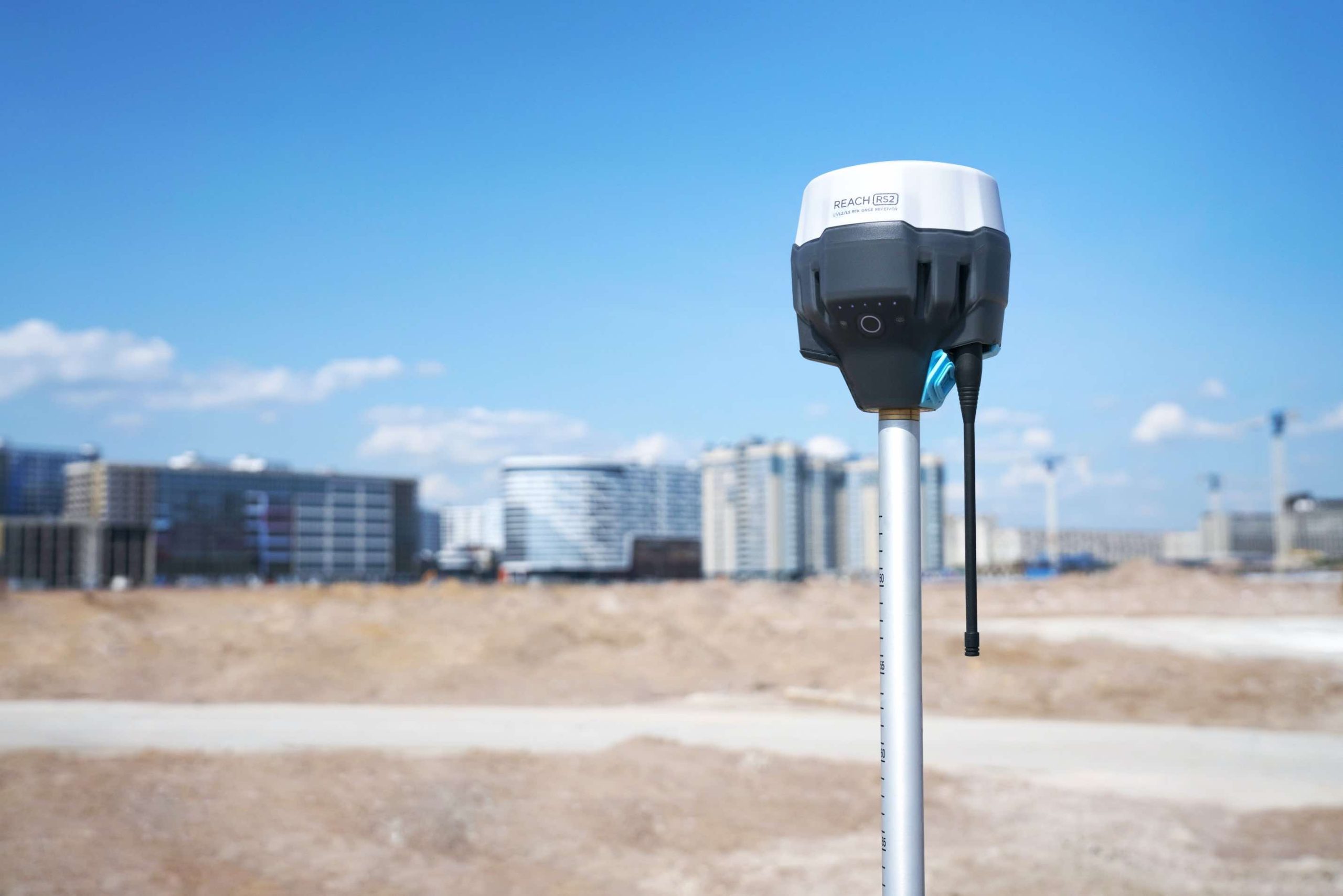
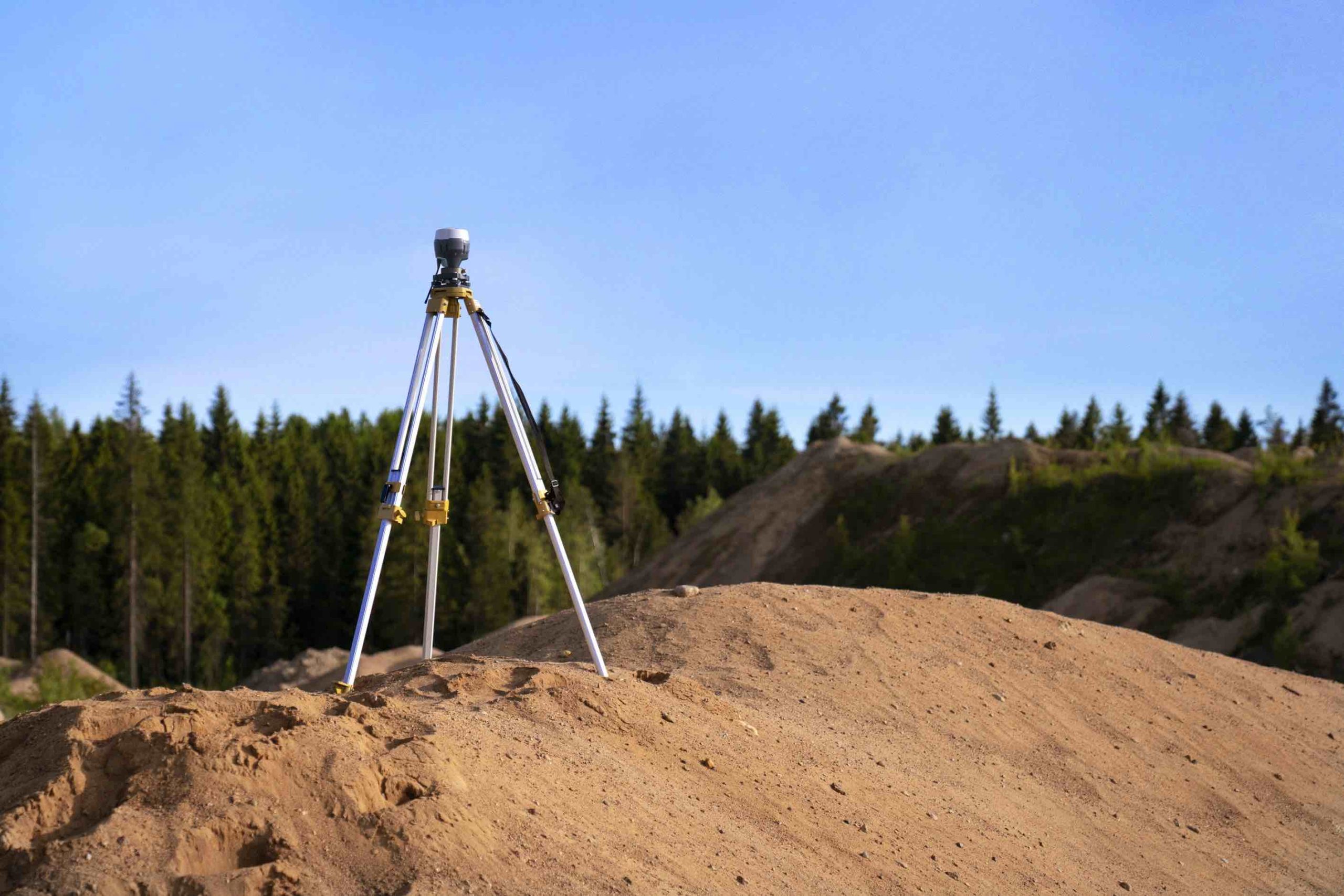
We provide this service using high-precision GNSS survey equipment and drone surveying. By capturing ground levels, vegetation, and drainage systems to centimetre- to millimetre-level accuracy, we reveal flow paths, low spots, and runoff patterns with exceptional reliability. This high-quality data enables precise flood-risk mapping and supports informed planning and engineering decisions.
Boundary Survey
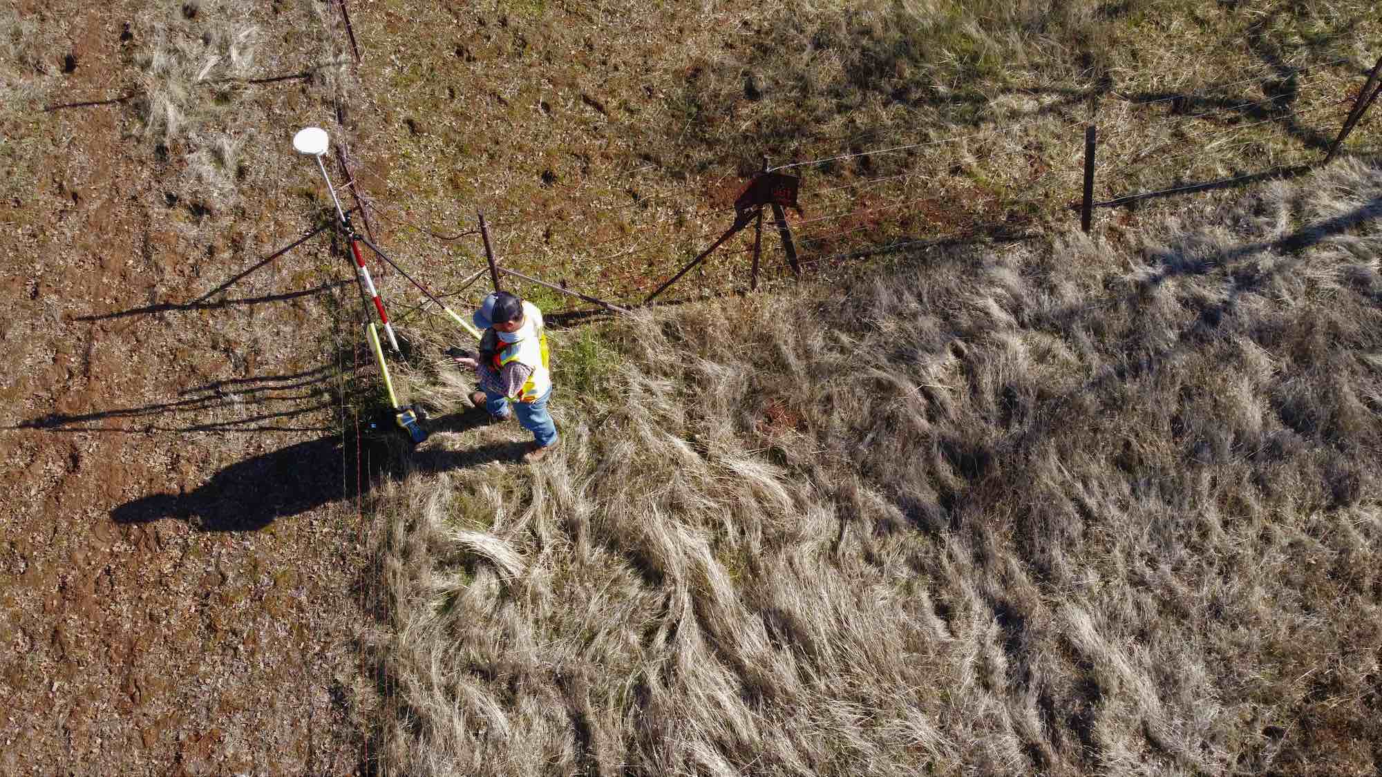
we carry out boundary surveys using high-precision GNSS equipment and drone technology to achieve centimetre- to millimetre-level accuracy. This allows us to clearly define property limits, identify encroachments, and map physical features with exceptional reliability. Our detailed boundary data supports legal documentation, planning applications, engineering design, and long-term site management.
Coal tips / Mining surveys
Detection of structural deformation, ground movement and water regimes. Identify and monitor invasive plant species
Cliff monitoring
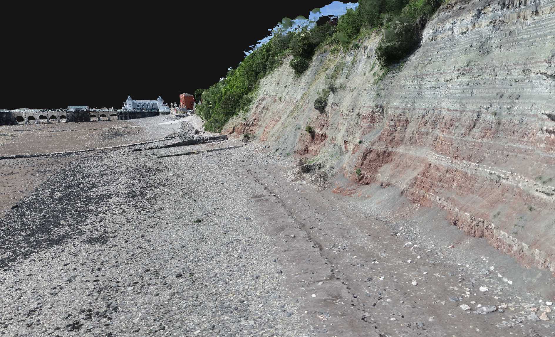
Detection of structural deformation, quantification of eroded surfaces, risk assessment and cliff erosion prediction.
Scientific Research
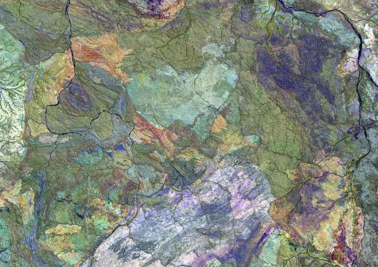
Development of change detection algorithms; drone mapping techniques; close-range photogrammetry; and computational framework for environmental impact assessment.
Farmland Monitoring
Crop Health Assessment, Yield Estimation, Field Mapping, Drought Monitoring, Precision Application, Weed Management, Early Disease Detection, Crop Planning, Time and Labor Savings, Environmental Sustainability, and farmland database management.
Rooftop Monitoring
We also use drones for rooftop monitoring, allowing us to safely capture high-resolution imagery and precise measurements of roof conditions, drainage points, and potential defects. This aerial data provides a clear, accurate overview that supports maintenance planning, structural assessments, and engineering design.
Identify and Monitor Invasive Plant Species
Advanced imaging technology to efficiently and accurately survey large areas; capturing detailed imagery to identify invasive plant species based on their unique visual characteristics; rapid response and targeted control measures from regular drone surveys; quick detection of invasive plant species growth; and quantification and segmentation of Invasive Plant Species.
Flood and coastal erosion surveys
Beach modeling and monitoring, flood risk maps, coastal erosion risk management, developing coastal protection strategies, analyzing water flow patterns, and identifying potential breach points.
Reasons
Why Choose Us
We Listen
We can only deliver results if we know what your success looks like. We find out what you want to achieve and we get it done.
Integrity
Sometimes doing what is right is not easy. Integrity within our company means that we will do what is right even in face of difficulty.
Pricing
Our prices are competitive and fair. There are no surprise bills. Any unexpected or additional expenses must be pre-approved by you.
Meet Our Lead
“The strength of the team is each individual member. The strength of each member is the team.”

Dr. Mitchell A. Eboigbe
MSc GIS, Ph.D. Digital Photogrammetry, Principal Partner

Dr. Hamzeh Aldwairy
MSc GIS and Natural Reserve PH.D. Remote Sensing Managing Partner
Get in Touch with us Now!
We assure you the best when it comes to our services.
CALL US Now
- 07467876964
Reach Us Now
Address
Startup Studio, University of South Wales, Llantwit Rd, Pontypridd CF37 1DL.
contact@geoenvsol.co.uk
Phone
07467876964
Lorem ipsum dolor sit amet, consectetur adipiscing elit. Ut elit tellus, luctus nec ullamcorper mattis, pulvinar dapibus leo.
